Local soil information is a starting point
Arlington municipal guidance describes a soil transition, including more clayey material in portions of the east and southeast and sandier material in portions of the north and west. That is useful regional context, not a parcel-level soil test. Fill, grading history and compaction can change how a specific yard behaves.
Clay and sandy soils behave differently
Clay-rich soil commonly admits water slowly when wet, and shrink-swell behavior can affect finished grade. Sandy soil may accept infiltration faster, but even permeable soil can develop waterlogged horizons or collect runoff from larger paved areas. Neither broad label determines whether a dry well or French drain works on its own.
Compacted ground can hold water
Compaction from construction, vehicle storage or heavy foot traffic may reduce infiltration near the surface. Topsoil spread over dense subgrade can produce puddles despite good-looking turf. A drainage assessment should consider layers and root condition instead of relying on a topsoil sample alone.
Combine soil checks with site levels
To understand wetness, combine observations after storms with elevation, infiltration testing where an infiltration device is proposed, the distance to structures, utilities and any perched groundwater. The result may favor surface reshaping, solid-line conveyance, an appropriately designed subsurface interceptor or no excavation at all.
Storage needs a way to empty
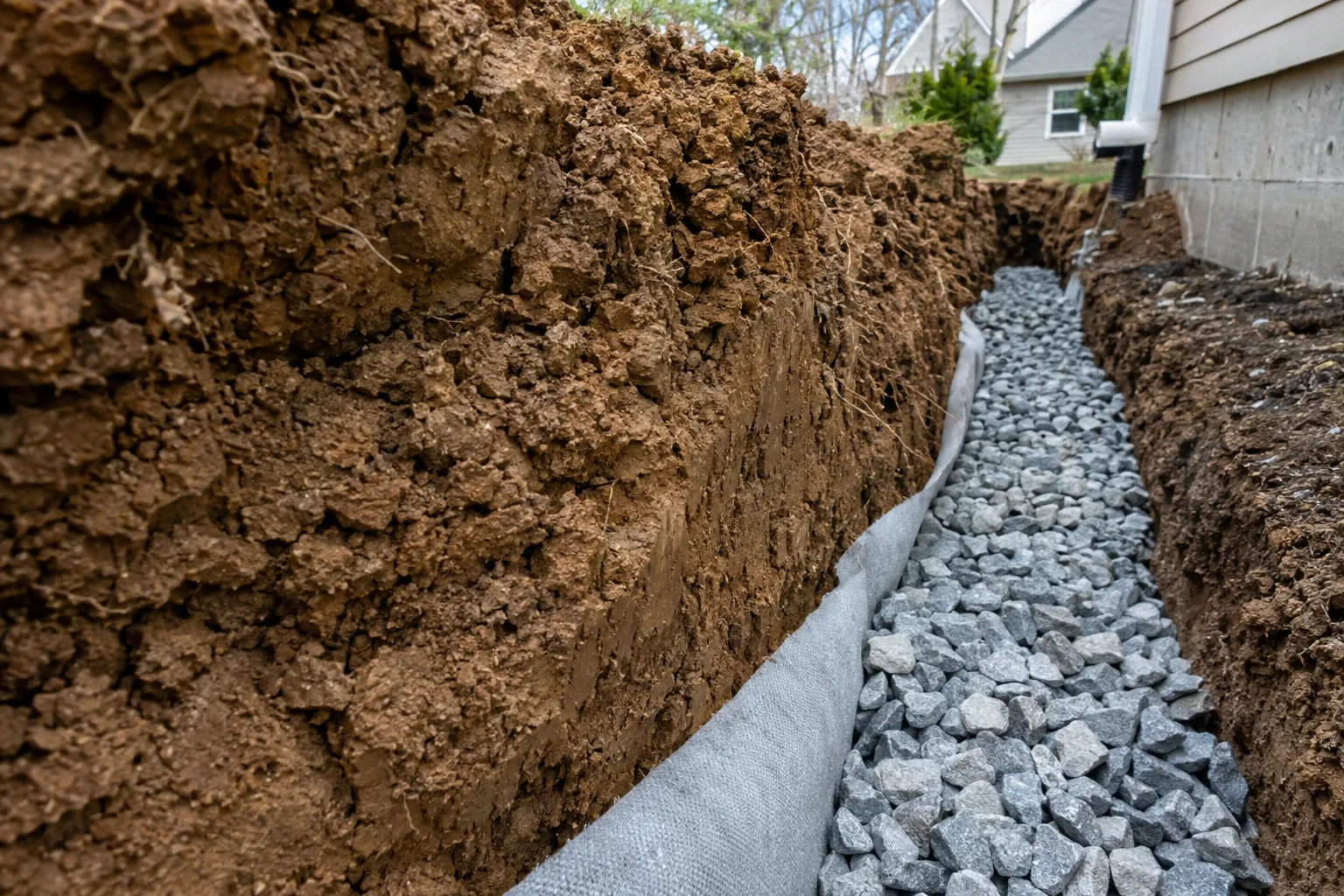
Gravel-filled trenches are not magic storage systems. If their outlet is blocked or set too high, they can hold water. Similarly, dry wells are not a universal replacement for surface discharge where clay limits absorption or the storage volume is too small.
Ask how the design fits the actual ground
For an Arlington property, ask an estimator to describe the evidence behind soil-related assumptions and how drainage will be checked after installation. On-site conditions and local rules matter more than blanket claims about every lawn in the city.
How the clues change the decision
Consider a yard where puddles form above a compacted construction area but a nearby planting bed seems to absorb water quickly. Calling the whole parcel “clay” or “sand” would hide the important difference between the top layer, buried fill and runoff arriving from the house. A practical investigation maps the sources and drainage direction, then checks whether the wet strip holds water at the surface or along a subsurface horizon. If an infiltration system is under consideration, an appropriate field evaluation at its proposed location and depth is more informative than a regional description. Compaction may change the grade and water movement problem even where natural soil is relatively permeable. The right answer could be restoring the surface route, relocating a downspout, installing a collector or deciding against infiltration altogether. Citywide soil guidance should inform questions, not predetermine an installation.
Check the ground where the work will go
We treat regional soil information as a starting point for questions. A lawn can include imported fill, compacted construction areas and later planting work that change how water moves. A surface that looks sandy does not establish what lies at the depth of a proposed drain or infiltration chamber. Likewise, a wet area is not proof that every part of the property contains the same clay. The useful question is how the ground at the actual collection and discharge locations behaves, especially after it has already become wet.
Surface levels can be as important as absorption. Water may remain in a depression even where nearby soil drains reasonably well. It may also arrive faster than the ground can absorb it because a downspout concentrates runoff from a roof. We compare those sources and levels before deciding whether the main problem is infiltration. Changing the outlet of one downspout may reduce the load on a wet patch, while an underground storage system could leave the same patch saturated if its soil cannot empty the stored water.
Ask what the soil findings change
Testing is useful when it resolves a design question. For an infiltration feature, the question is whether the proposed ground can accept water at a suitable rate and what storage and overflow arrangement follows from that result. For a pipe route, excavation conditions and stable support may be more relevant. We discuss which observations support the recommendation and which remain uncertain. A soil description should lead to a practical decision about the work, rather than appear in a proposal as an impressive label with no effect on the design.
If excavation reveals different material from what was expected, the plan may need to be reviewed before proceeding. That can affect infiltration suitability, trench support or restoration. We identify important uncertainties during the estimate so they can be discussed if encountered. Afterward, remember that new landscaping can change the surface route even though the underlying soil remains the same. Keep inlets reachable and avoid adding material that blocks a swale. The finished system depends on both the buried conditions and the surface that directs water toward it.