Flood maps do not explain every wet yard
A FEMA floodplain designation is not a property drainage inspection. Maps typically describe mapped riverine or major flood mechanisms, while a depressed side yard can fill from a downspout, a driveway grade or a blocked inlet during a short storm. Owners should separate these questions instead of treating an unmapped lot as flood-proof.
Find what feeds the low spot
Look first for where water enters the lot. A roof valley may concentrate runoff at a single downspout. Impervious surfaces such as drives and patios reduce places for water to soak in. A fence base, edging or newly raised bed can form a small dam even when the yard looks nearly level on a dry day.
Notice how long the water stays
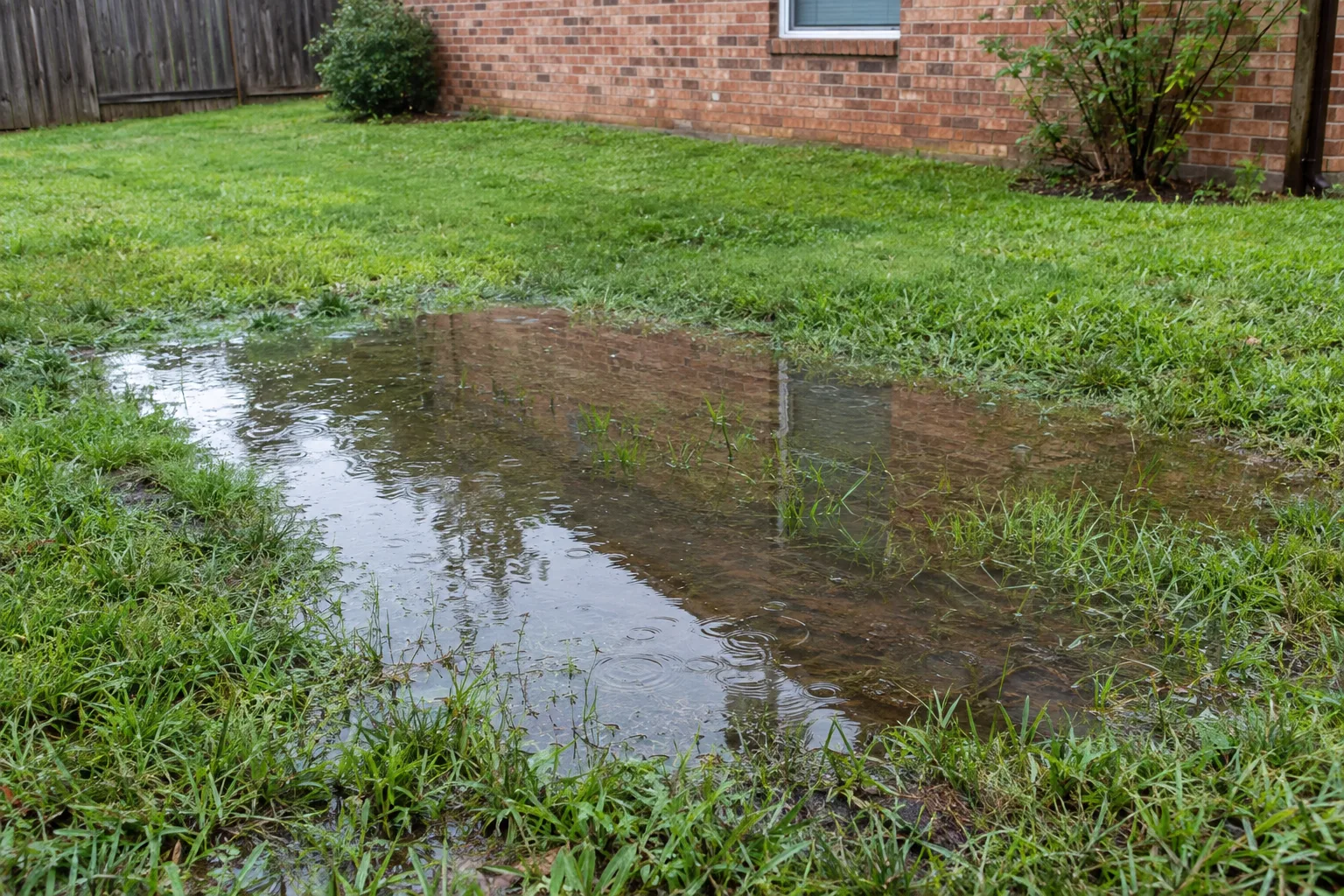
After the storm, record whether water disappears within hours or remains for days. Brief ponding during intense rainfall suggests a surface collection or overflow limitation; persistent wet ground between events suggests an irrigation leak, slow-draining soil or a subsurface water source. These are clues, not a remote diagnosis.
Choose the right kind of drainage
The City of Arlington publishes guidance on localized flooding, private area drains and property grading. It recommends routing water away from buildings and distinguishes perforated French drains for groundwater from conventional surface drainage. Its flood information services can help residents understand mapped and known stormwater concerns.
Avoid moving the problem elsewhere
Changing one grade can transfer a problem. If a low lawn pocket is filled without an outlet, water may move toward a doorway. If a new pipe deposits concentrated flow into an adjoining property, the original yard may improve while legal or erosion problems arise. Drainage design must follow the entire route.
Document the problem safely
Heavy water threatening a building is also a safety concern. Do not walk or drive into floodwater, open a flooded electrical enclosure, or enter moving runoff to inspect an inlet. After conditions are safe, photographs and dated observations help guide a professional assessment.
How the clues change the decision
Consider an Arlington house on a lot that sits outside a mapped high-risk floodplain. Rainwater from the roof reaches a side walkway; the walkway slopes slightly inward; and a recently installed edging strip keeps the water from escaping across the lawn. The water rises near the doorway during cloudbursts even though no creek has overtopped. Reviewing the FEMA map is sensible for wider flood exposure, but the immediate site problem needs an elevation and runoff-path assessment. It might be improved by redirecting the roof outlet, reshaping the edge or collecting the surface flow at its actual low point. The chosen method should be based on measured fall and a safe receiving location.
Separate a yard problem from wider flooding
We use the word flooding carefully because a lawn puddle and water rising across a wider area do not call for the same response. A small drain may improve a local collection point, but it cannot be assumed to protect a property from floodwater arriving beyond the lot. Describe whether the water follows a visible route from your roof or paving, or rises across several areas together. That distinction helps define the assessment and prevents a yard-drain proposal from being presented as protection against every kind of flooding.
Look for changes that happened before the first troublesome storm. A new patio, added soil, replacement fence edging or altered downspout can interrupt a route that previously carried runoff away. The change may be small enough to overlook in a dry yard. We compare the affected area with the surfaces feeding it and the outlet available beyond it. If a prior drain is involved, knowing whether it ever worked under similar conditions helps us decide where to investigate first.
Turn your observations into a practical scope
Photographs are most useful when they show context. A close view of a puddle gives its appearance; a wider view can show the downspout, paving edge and direction the ground falls. A later photograph shows how long the water remains. Take those views only from a safe location. Keep dates and a short note about whether rain was ongoing, had just stopped or had ended much earlier. We can use the sequence to distinguish rapid surface runoff from slower drainage through the ground.
When we discuss a correction, each part should have a stated purpose. Moving a roof outlet reduces water arriving beside the house. Reshaping a low edge restores a surface route. A basin collects water where that route cannot be opened. The estimate should identify the route to the receiving point and what will happen to disturbed lawn or paving. Ask how larger flows will pass the work if the inlet cannot collect everything. A clear answer is more useful than a promise that one drain will eliminate all future standing water.