Manage runoff crossing a slope or access route
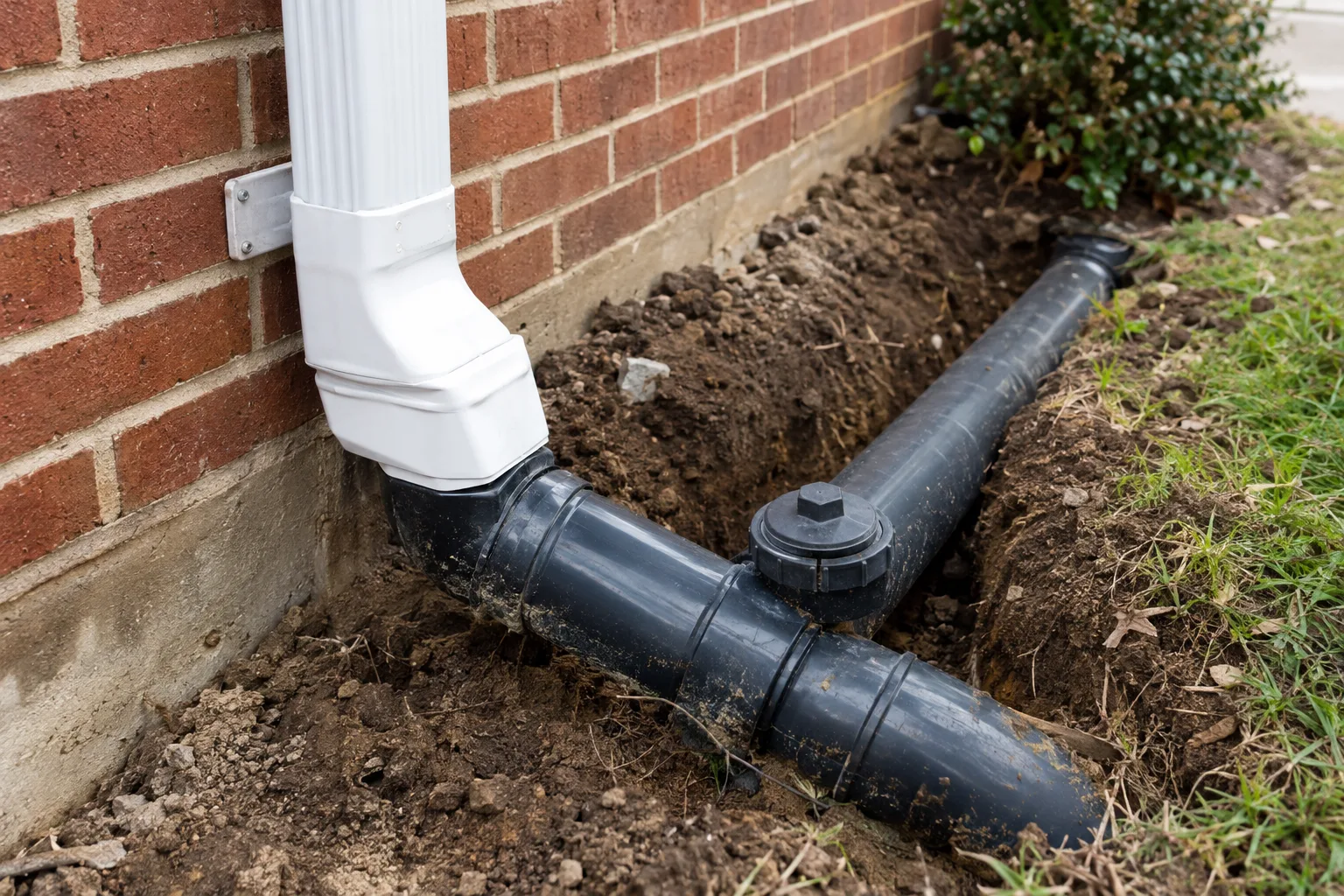
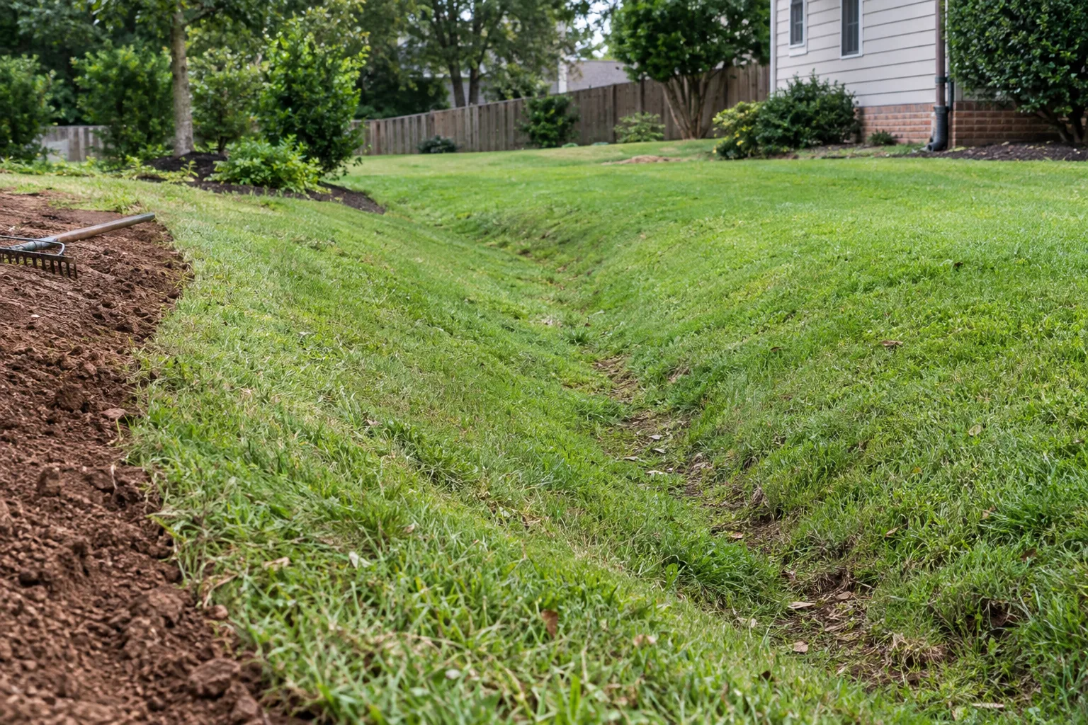
We help Burleson property owners assess water that carries soil across a yard or gravel access area. The damaged surface can be downstream from the actual source. We trace where runoff concentrates and whether a roof outlet, paved area or higher ground supplies it. Fresh ruts and sediment deposits help identify that route after rainfall. Replacing the gravel or soil may be part of restoration, but it should follow a plan for the flow that displaced the material in the first place.
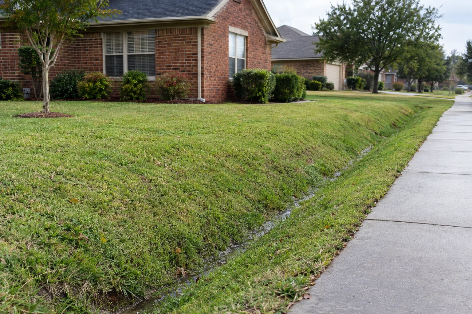
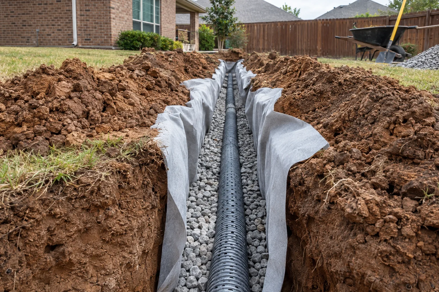
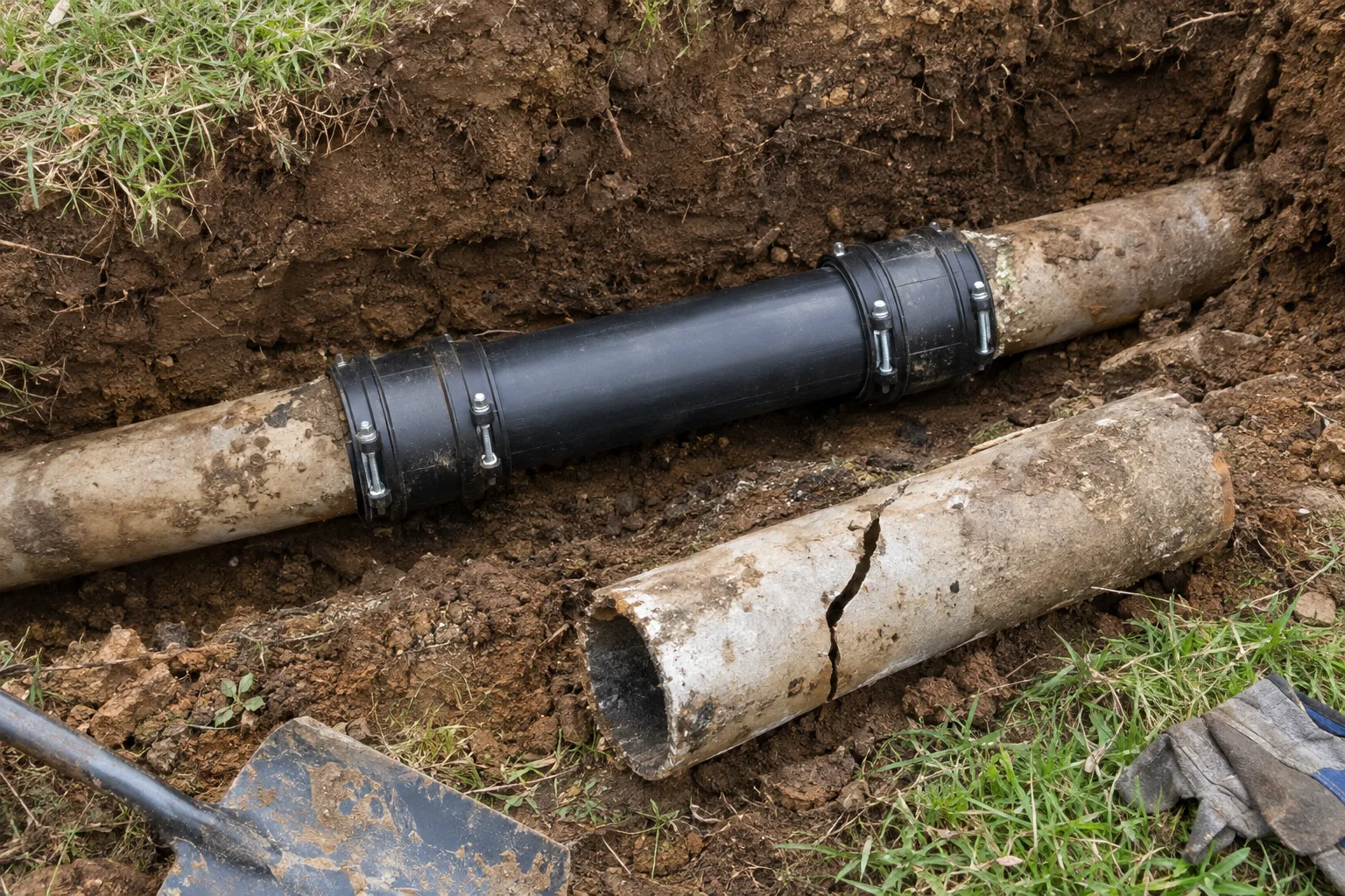
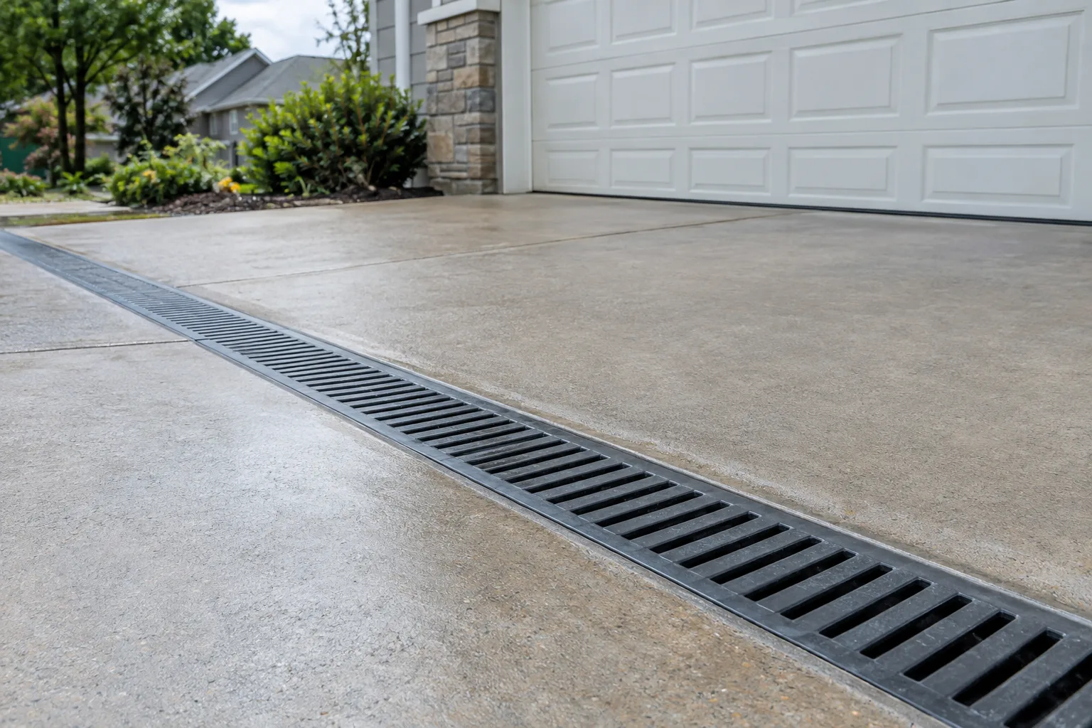
A stable surface route may be practical where the levels and available space support it. In other layouts, a collector and pipe may carry concentrated water past the affected area. We compare those options with the way vehicles and people use the route. A drain that creates an awkward crossing can introduce a different problem. The supporting installation, inlet position and receiving conditions need to fit that use rather than being copied from a lawn-only drainage detail.
Protect both sides of a drainage crossing
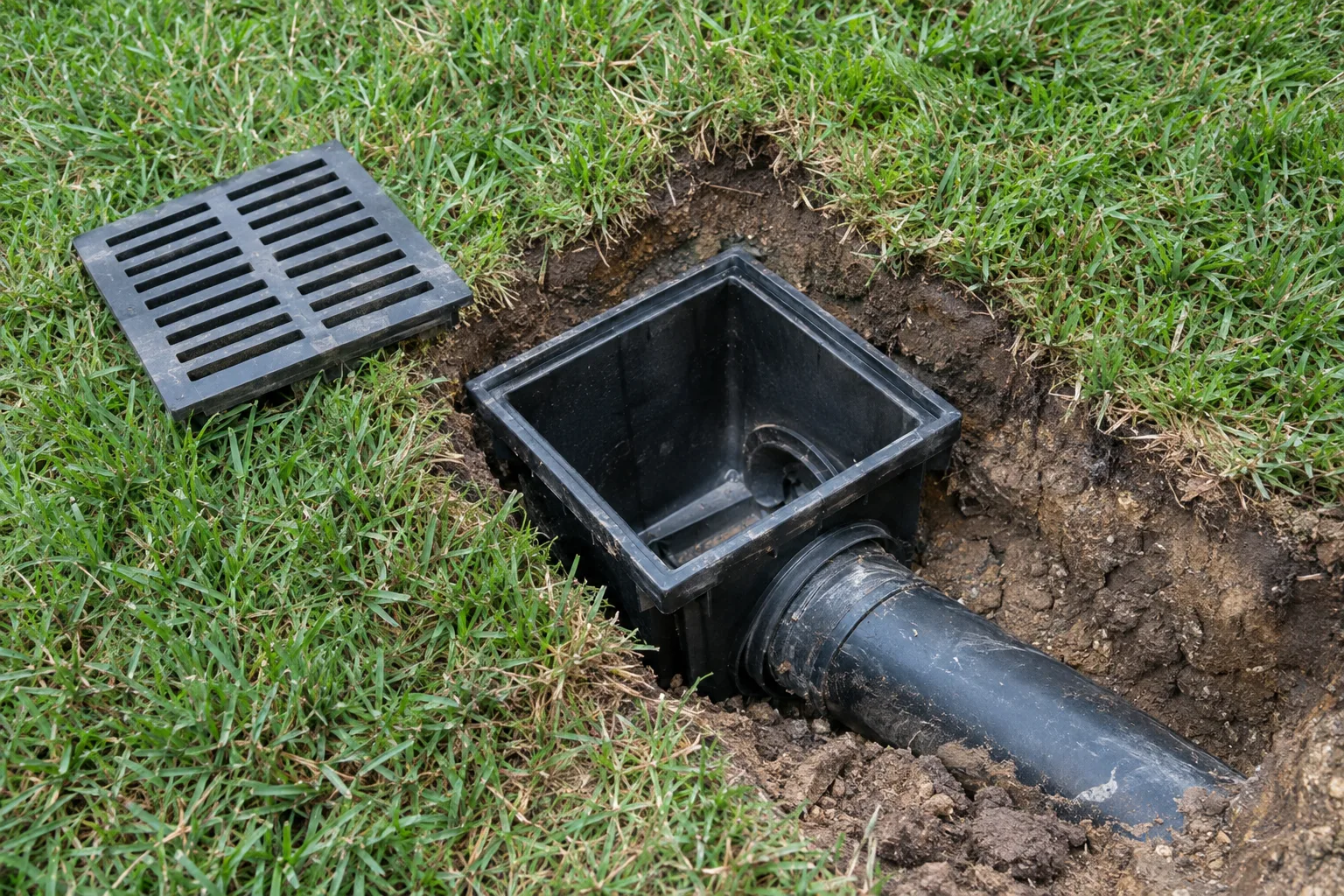
The inlet needs to collect water without being repeatedly buried by loose material. The outlet needs a receiving area that does not wash out as flow leaves the pipe. We consider both when discussing a crossing or reroute. A larger pipe alone does not stabilize the approach if sediment keeps entering or the ground around it erodes. The scope should identify the surface shaping and protection that allow the drainage components to keep doing their jobs after the disturbed area is restored.
Access for excavation, the depth of the route and handling removed material all affect the work. Utilities and property boundaries may constrain what first appears to be an open route. Where a public ditch, easement or other controlled feature is involved, the requirements for the Burleson property must be checked before assuming a connection. We explain which parts of the route are confirmed and which need further review. That keeps the estimate from relying on an outlet that has not been established as usable.
Before the assessment, note whether washouts occur at the same crossing or move along the access area. Photographs showing where runoff enters and where sediment lands can help. After work, watch the edges of restored surfaces and the area immediately beyond the outlet. New ruts there may indicate a bypass or continuing concentration of flow. Keep the collector clear of loose gravel and vegetation. A usable maintenance route is part of the finished project, especially when the drain serves an area regularly crossed by vehicles.